Weather forecast models by the National Oceanic and Atmospheric Administration (NOAA) predict that El Niño conditions in the Tropical Pacific will intensify during the latter half of 2026, leading to a potential “super El Niño.”
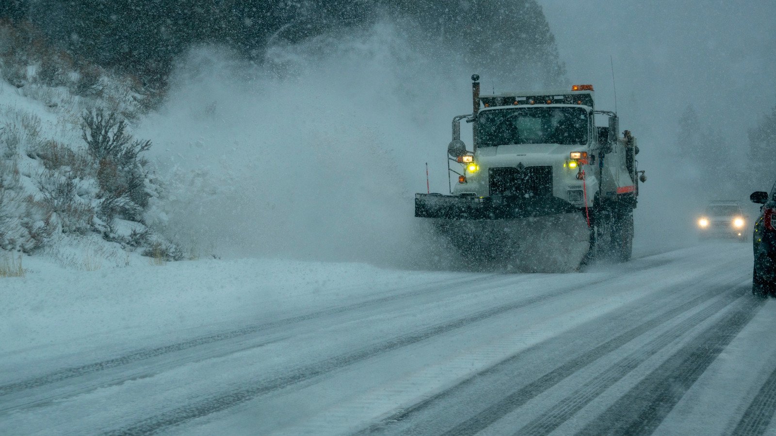
If the NOAA predictions are right (and there’s a greater than 90% chance they are), certain U.S. regions could face heavy bouts of rain and intense snowfall this winter.
Weather reports from Newsweek show that New Hampshire, New York, Vermont, and California’s Sierra Mountain range are the U.S. regions most likely to see an increase in adverse weather conditions. If a “super El Niño” does develop, it could be the largest one on record in decades.
Super El Niño To Reach Peak Intensity By Fall Of 2026
Those in the U.S. can expect El Niño conditions to peak between October and December this year, according to NOAA’s Climate Prediction Center.
“There is an 81% chance of a very strong El Niño during October-December that would rank among the largest El Niño events in the historical record going back to 1950,” NOAA said on its website.
NOAA also noted that there is a 97% chance this El Niño will last through early spring 2027.
We’ve already stated that New Hampshire, New York, Vermont, and California are vulnerable to this historic El Niño. However, the Gulf Coast states will also experience intense weather as El Niño continues to intensify. Here’s what residents can expect:
| California | Significant rainfall in Southern California and a major increase in snowfall for the central Sierra Nevada range. |
| Georgia | Heavy rainfall, cool fronts |
| Alabama | Heavy rainfall, cool fronts |
| South Carolina | Heavy rainfall, cool fronts |
| Mississippi | Heavy rainfall, cool fronts |
| Florida | Increased risk of severe storms, including tornadoes |
| New York | Heavy rain, significant snow |
| Vermont | Heavy rain, significant snow |
| New Hampshire | Heavy rain, significant snow |
So how did we get here? And how does NOAA classify a “super El Niño?” To understand this, we need to look at rising ocean temperatures.
Pacific Ocean Experienced Big Surface Temperature Anomalies Last Month, Leading To A Very Strong El Niño
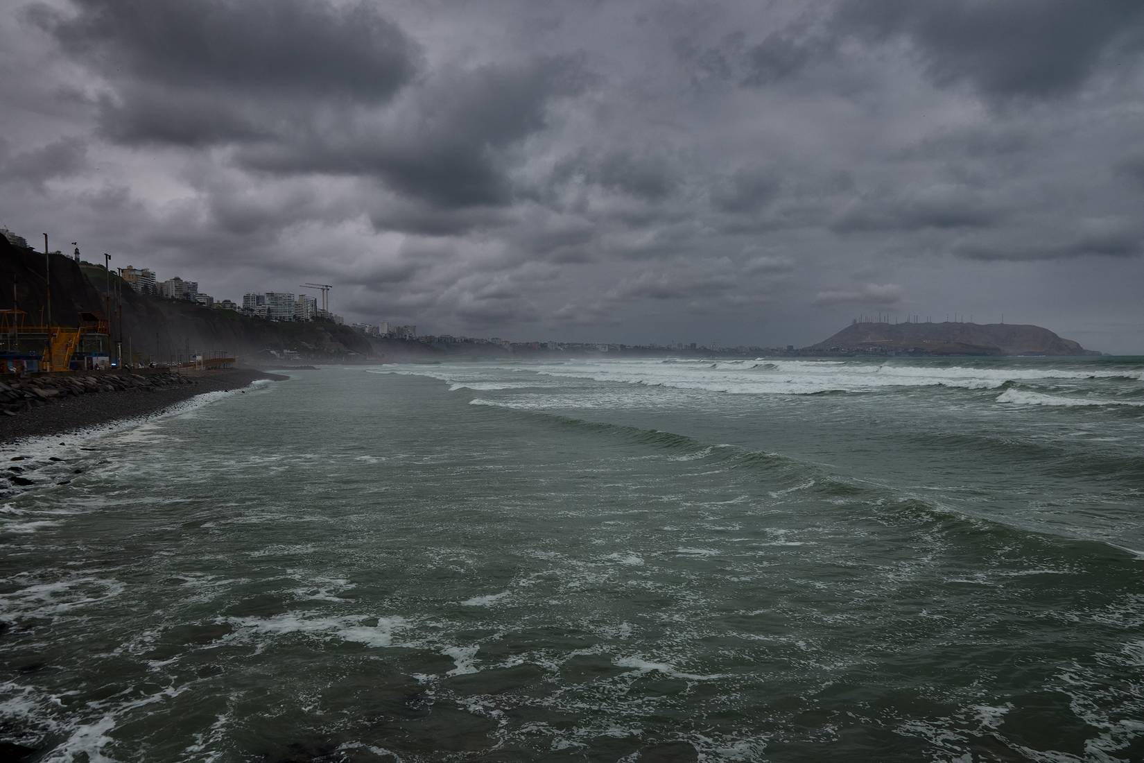
According to NOAA, the central and eastern equatorial Pacific (the ocean region where the El Niño-Southern Oscillation (ENSO) cycle occurs) experienced “surface temperature anomalies in excess of +1.0 degrees Celsius” in July. This means the water’s surface temperature is warmer than normal.
July also saw the easternmost equatorial monitoring zone (Niño-1+2) reach +2.7 degrees Celsius above the seasonal average.
To qualify for a “super El Niño” or a “very strong El Niño,” as it’s referred to by NOAA, the water surface temperature must be more than 2 degrees Celsius above the seasonal average.
These temperature fluctuations are used to classify how strong the El Niño will be.
How To Classify El Niño
| Weak | Water is 0.5 to 0.9 degrees Celsius warmer than the seasonal average. |
| Moderate | Water is 1.0 to 1.4 degrees Celsius warmer than the seasonal average. |
| Strong | Water is 1.5 to 2.0 degrees Celsius warmer than the seasonal average. |
| Very Strong | Water exceeds 2.0 degrees Celsius warmer than the seasonal average. |
While increased rain and snowfall might not sound like a huge deal to some, a “super El Niño” is actually quite rare.
Only Five “Super El Niños” Have Occurred Since 1950
NOAA’s official standardized scientific record-keeping for El Niño started in the 1950s. Since then, there have only been five “super” or “very strong” El Niños on record.
The most recent occurrence happened in 2015 and 2016. Here’s what happened during that time:
- 16 tropical cyclones hit the Northern Pacific
- Record-breaking drought in the Caribbean caused water rationing in Puerto Rico
- 2015 and 2016 were among the hottest years on record globally.
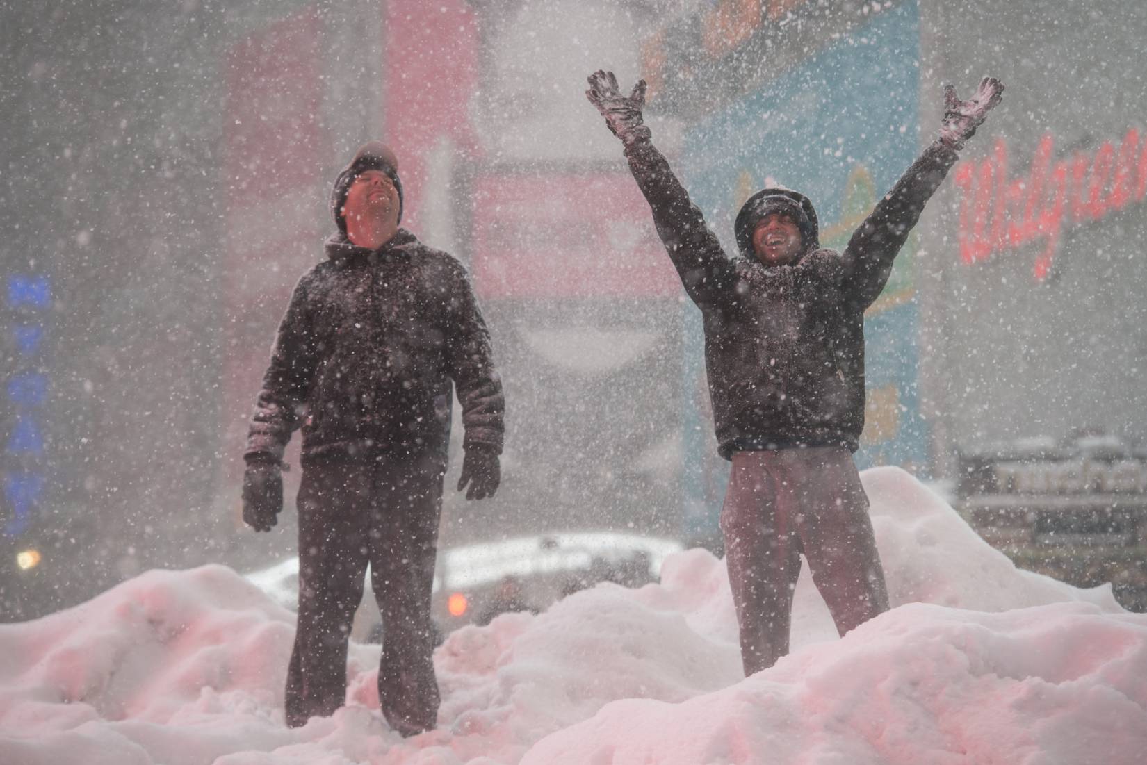
- New York City recorded its second-largest snowstorm in history.
As all signs continue to point to an intensifying El Niño for 2026, it’s important to remember that no two events are the same. That said, this year’s fall and winter months could bring travel disruptions depending on your region. For frequent travelers, this is nothing new, as this summer has already seen severe storms halt U.S. air travel a handful of times.